Reading view

Europe's free satellite service just made it easier to track wildfires

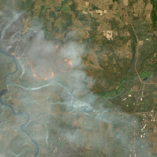
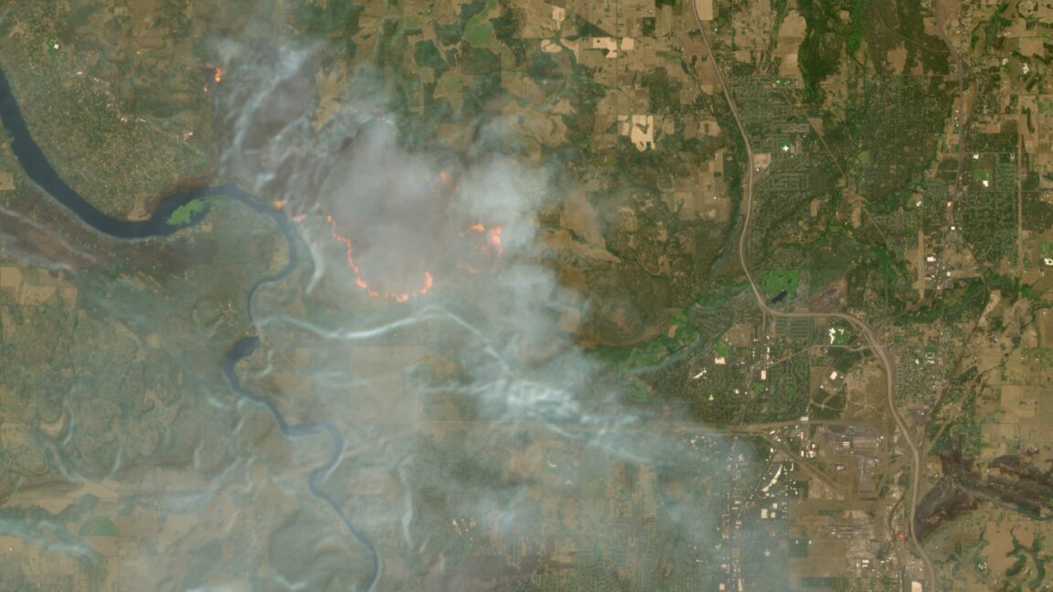
The wildfires afflicting communities across the world can now be tracked more easily by anyone using Europe’s free and open satellite imagery service—all thanks to a wildfire visualization script originating from nearly a decade ago.

The Copernicus Browser provides free access to the latest satellite imagery taken by the European Space Agency’s Sentinel satellites for the European Union’s Earth observation program. The three satellites of the Sentinel-2 mission have proven especially useful for wildfire monitoring by providing multi-spectral imaging at resolutions as granular as 10 meters in visible light and near-infrared bands—and the Copernicus Browser previously offered 10 default visualization layers using different combinations of spectral bands.

Now Copernicus Browser has also added a straightforward “wildfires” visualization layer for Sentinel-2 imagery that went live on August 4. Anyone clicking on this layer while looking at a wildfire location can see active fires in white or yellow, burning vegetation in red, and burned landscapes in dark brown or black.
Read full article

Comments

© European Union | Copernicus Sentinel-2
  •  

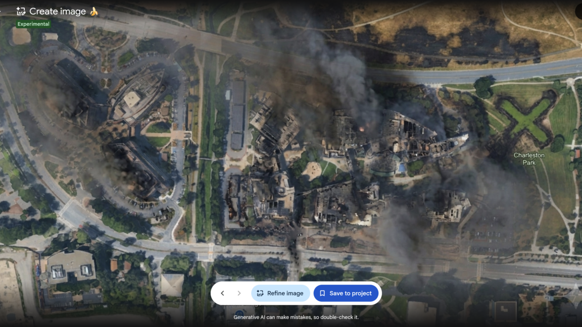
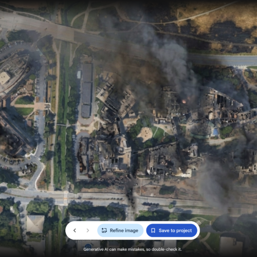
Google Earth risked ruin with retracted AI tool for making fake satellite pics

Google briefly allowed anyone to create AI-modified versions of satellite imagery available in Google Earth—before quickly reversing its decision as people shared examples of AI-generated pictures that illustrated the potential for misinformation and disinformation.

There is no shortage of generative AI tools that already allow people to create AI-modified images of real buildings and cities based on user prompts. But Google’s aborted attempt to incorporate its Nano Banana 2 AI image generator as a Google Earth feature made it even easier for anyone to create modified versions of authentic imagery depicting real locations—something that Google boasted about when initially promoting the new feature.

“For the first time, you can generate custom images using Google Earth’s satellite, aerial, and 3D imagery alongside Nano Banana, which creates concepts grounded in the real world,” wrote Bryan Horowitz, product manager for Google Earth, in a company blog post on July 30.

Read full article

Comments

© Google Earth

  •  

Iran struck Amazon data centers again amid widening war, satellites show

Satellite images have revealed new damage to Amazon data centers in the Middle East along with at least one crucial Saudi oil facility, following missile and drone attacks by Iran and its Houthi allies.

The images from Europe’s Copernicus Sentinel-2 satellites provide evidence of a widening war as the United States and several Gulf states exchange military strikes with Iran, the Houthi faction in Yemen, and Iran-backed militias in Iraq. Such satellite images also offer independent verification of claimed war damage, despite the US government having pressured US commercial firms and even Europe to restrict satellite imagery of the region.

Three Amazon data centers in the United Arab Emirates and Bahrain were already previously damaged by Iranian drone strikes on March 1. Those earlier attacks stuck Amazon with months of expected repairs and forced Amazon Web Services customers in the Middle East to migrate workloads to other cloud regions.

Read full article

Comments

© Samuel Boivin/NurPhoto via Getty Images

  •  
❌