Reading view

Drone boat picked up downed US Army helicopter pilots—a first for sea rescues

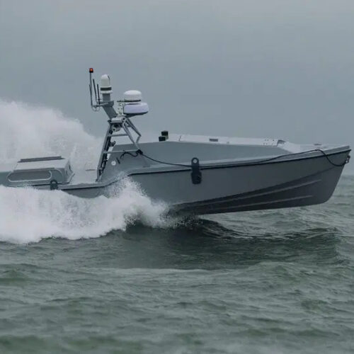
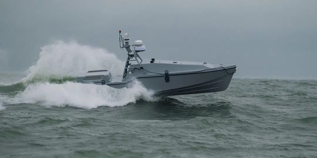
A drone boat picked up two US Army pilots from waters near the Strait of Hormuz after their helicopter gunship went down, US military officials said. The incident apparently represents the first time the US military has used a drone for such a rescue mission at sea.

The two crew members from the US Army AH-64 Apache were “rescued by American forces” at 7:33 pm US Eastern Time after their helicopter went down off the coast of Oman on June 8, according to a US Central Command press release. That press release mentioned support from US Navy units including the US 5th Fleet’s Task Force 59, which is charged with integrating uncrewed aerial, surface, and underwater vehicles, alongside AI, into 5th Fleet maritime operations.

Anonymous US military officials initially told CBS News that the Apache air crew was rescued by an uncrewed surface drone operated by Task Force 59 from the US Fifth Fleet in Bahrain. The officials also described the incident as the first time the military had used a drone to rescue people from the water.

Read full article

Comments

© Saronic Technologies

  •  

Tests suggest Russian satellites can jam GPS on a continental scale

Russian satellites have been identified as the cause of mysterious, seconds-long bursts of GPS interference across Europe—a rare example of human-made GPS interference coming from space. But uncertainty still hangs over whether such interference is intentional and if it could be more powerfully weaponized as GPS jamming with continental reach in the future.

The discovery came from an investigation detailed in a June 2 preprint paper by Todd Humphreys and his student Zach Clements at The University of Texas at Austin, along with Argyris Kriezis at Stanford University in California. By sifting through public data from ground-based stations with global navigation satellite system (GNSS) receivers, they identified a pattern of high-powered interference lasting less than 10 seconds each time but simultaneously detectable by ground stations across Europe from Norway to Spain to Poland, and even reaching as far west as Greenland and Canada.

By analyzing the ground station data from January 2019 to April 2026, the researchers found 75 days with at least one widespread GNSS interference event overlapping with the GPS L1 frequency band centered on 1575.42 megahertz. That represents the main band used for signal transmission by the US-made GPS satellite constellation and GNSS constellations from other countries.

Read full article

Comments

© European Space Agency

  •  
❌